Outtersteene Communal Cemetery Extension, Bailleul
- Country France
- Total identified casualties 945 Find these casualties
- Region Nord
- Identified casualties from First & Second World War
- GPS Coordinates Latitude: 50.7139, Longitude: 2.68595
Location information
Outtersteene is a village about 5 kilometres south-west of Bailleul. The Communal Cemetery Extension is north-east of the village on the road to Bailleul.
From Bailleul follow the D23 road to Outtersteene, the cemetery is on the right hand side of the road just as you approach the outskirts of the town.
Visiting information
OUTTERSTEENE COMMUNAL CEMETERY EXTENSION
ARRIVAL
The cemetery is signposted.
The Cemetery is adjacent to Outtersteene Communal Cemetery
PARKING
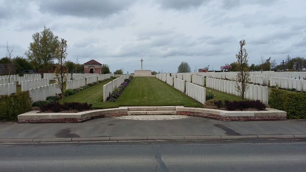
It is possible to park along the side of the main road at the front of the cemetery, close to the main entrance on Route de la Belle Croix (D23).
The ground is flat and firm with a concrete and tarmac surface.
There is a shallow concrete drainage channel between the road and the pavement.
ACCESS LAYOUT AND MAIN ENTRANCE
Access into the cemetery from the pavement is a semi-circular paved area in front of two steps leading up to the burial area.
There is a low level (30 centimetre) red brick and white stone capped wall with 2 white stone steps in the centre providing access up into the burial area. The there is a drop of 30 centimetres from the burial area to the pavement at the entrance.
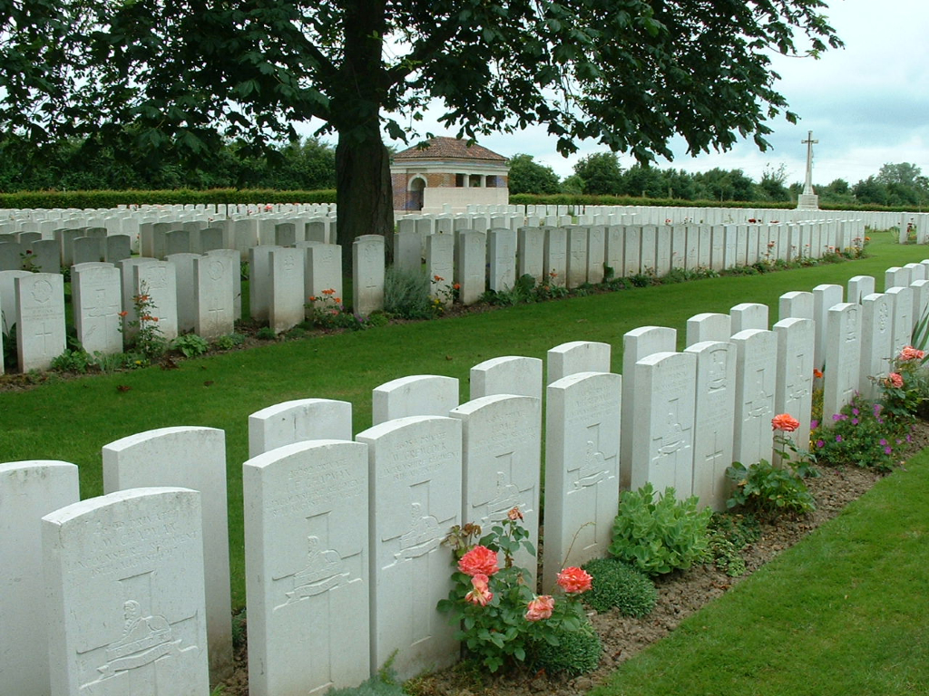
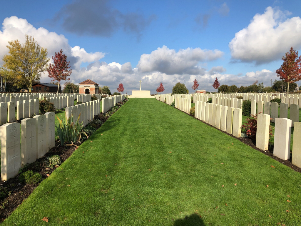
The Cross of Sacrifice is at the rear of the cemetery in line with the entrance steps.
The Stone of Remembrance is in the centre of the cemetery, midway between the Cross of Sacrifice and the entrance.
There is a red brick shelter building left side, just past the Stone of Remembrance.
There are stone seats built into open archways at both ends of the building.
The Register Box is mounted on the wall inside the shelter, adjacent to the archway of the right side of the building.
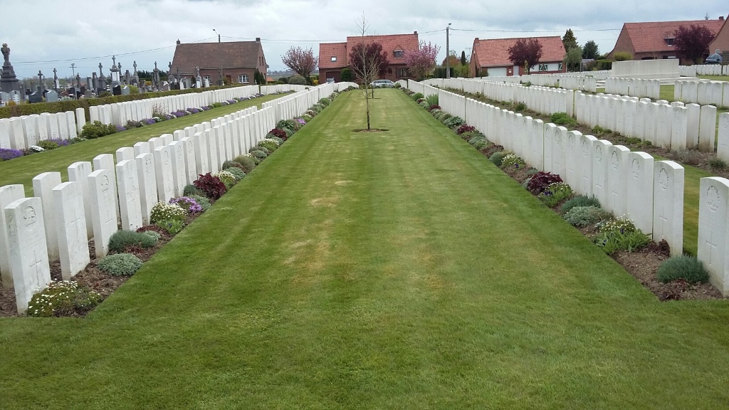
The internal paths are grass, the ground is slightly sloping.
ALTERNATIVE ACCESS
There is an alternative entrance into the cemetery on the left side of the main entrance between a residential property and the edge of the cemetery boundary hedge.
A wide grass path runs from the pavement towards the shelter building. There is a 50 mm wide concrete kerb, approximately 25 mm higher than the footpath between the grass and the pavement.
ADDITIONAL INFORMATION
The cemetery is permanently open.
History information
Outtersteene was captured by the III Corps on 13 October 1914 but no Commonwealth burials took place there for nearly three years. In August 1917, during the Third Battle of Ypres, the 2nd, 53rd and 1st Australian Casualty Clearing Stations came to Outtersteene, and the first and last of these remained until March 1918. The hamlet was captured by the Germans on 12 April 1918, and retaken by the 9th, 29th and 31st Divisions, with the ridge beyond it, on 18 and 19 August, but the cemetery was not used again during hostilities. After the Armistice, over 900 graves of 1914 and 1918 were brought into Plots I, II and IV from the battlefields surrounding Outtersteene and from certain small cemeteries, including:-
STRAZEELE ROAD CEMETERY, STRAZEELE, about 800 metres West of Strazeele, which is North-West of Outtersteene. Here were buried 18 soldiers from Australia and one from the United Kingdom, who fell in May, June and August 1918.
CAESTRE ROAD CEMETERY, on the North side of Strazeele, containing the graves of nine soldiers from Australia, three from the United Kingdom, one from Guernsey, and two of unknown units, who fell in April 1918.
VIEUX-BERQUIN COMMUNAL CEMETERY EXTENSION, on the road from Outtersteene to Vieux-Berquin. In this Extension, on the East side of the Communal Cemetery, were buried 17 soldiers from the United Kingdom and one from Australia, who fell in August and September 1918.
1,147 German graves were initially concentrated into Plot III. These were later removed to Steenwerck German Cemetery.
The extension was used again in 1940, for the burial of those killed in the fighting which covered the withdrawal of the British Expeditionary Force to Dunkirk.
Outtersteene Communal Cemetery Extension now contains 1,393 Commonwealth burials and commemorations of the First World War. 499 of the burials are unidentified but there are special memorials to 14 casualties known or believed to be buried among them.
Second World War burials number 72, of which 23 are unidentified.
The extension was designed by Sir Herbert Baker.


